


Buy this product individually or access it for free with a membership! Join Now.
Thirteen Colonies Map – Labeled, Unlabeled, and Blank PDF
$1.50
Printables, WorksheetsHelp your kids learn the locations of each of the thirteen colonies with the help of this handy thirteen colonies map!
There are three versions to print. The first map is labeled, and can be given to the students to memorize. The second map is unlabeled, and contains arrows with spaces for the students to write in the colony names. You can use this page to quiz your kids.
Finally, a blank thirteen colonies map has been included. This can be used for various other social studies activities.
Contents:
Page 1 – Thirteen Colonies Map – labeled
Page 2 – Thirteen Colonies Map – Unlabeled
Page 3 – Thirteen Colonies Map – Blank
Page dimensions: 7.5”x10”. Terms of Use – For personal and educational purposes only. PDF format.
Related products
-
Printables
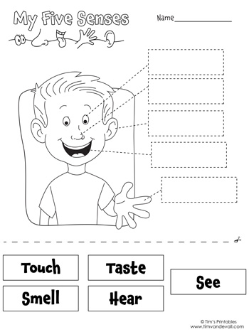
Five Senses Worksheet
-
Printables
Noun Worksheets
-
Printables
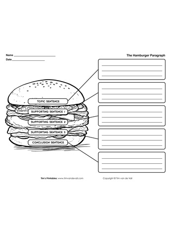
Hamburger Paragraph Worksheet


Reviews
There are no reviews yet.