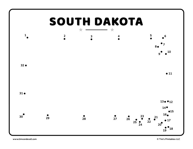
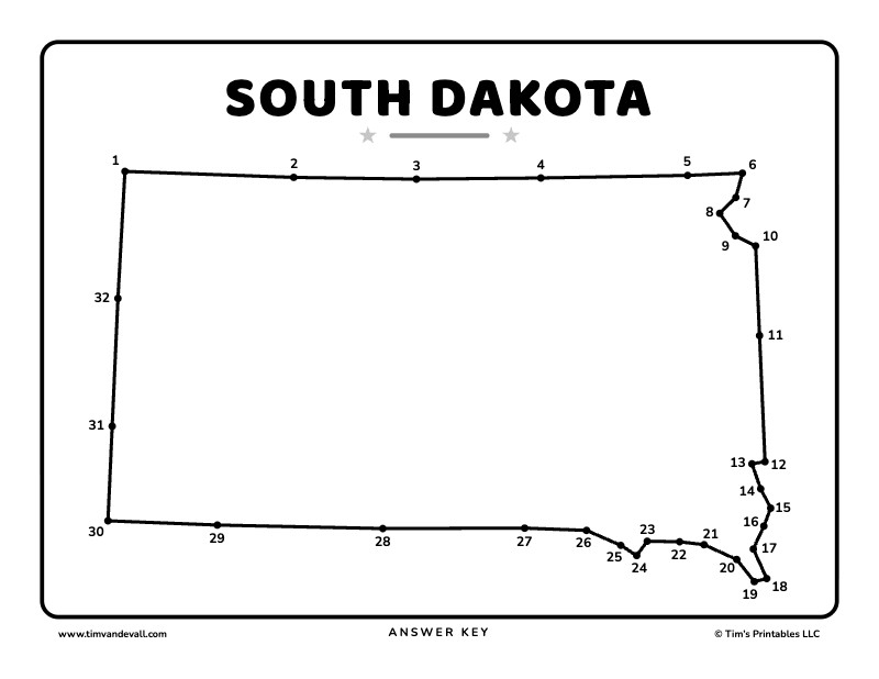
Connect the 32 dots in order to draw the outline of South Dakota. South Dakota is known as the Mount Rushmore State. Its capital is Pierre, it became the 40th state on November 2, 1889 and its highest point is Black Elk Peak at 7,244 feet.
The shape of South Dakota
South Dakota is nearly a rectangle. The Missouri River runs through the middle, and people there call the two halves East River and West River.
- South Dakota has the 46th largest population of the 50 states.
- The state bird of South Dakota is the ring-necked pheasant.
- South Dakota is the 17th largest state by area.
There are three free sheets below: a color version, a black and white version and an answer key. Click a sheet to open its PDF. Each PDF prints on landscape letter paper, with the answer key on page 2.
South Dakota dot-to-dot in color

South Dakota dot-to-dot in black and white
Answer key
More about South Dakota
See where South Dakota is and what borders it on the South Dakota map, or pick another state from all 50 US state dot-to-dots.