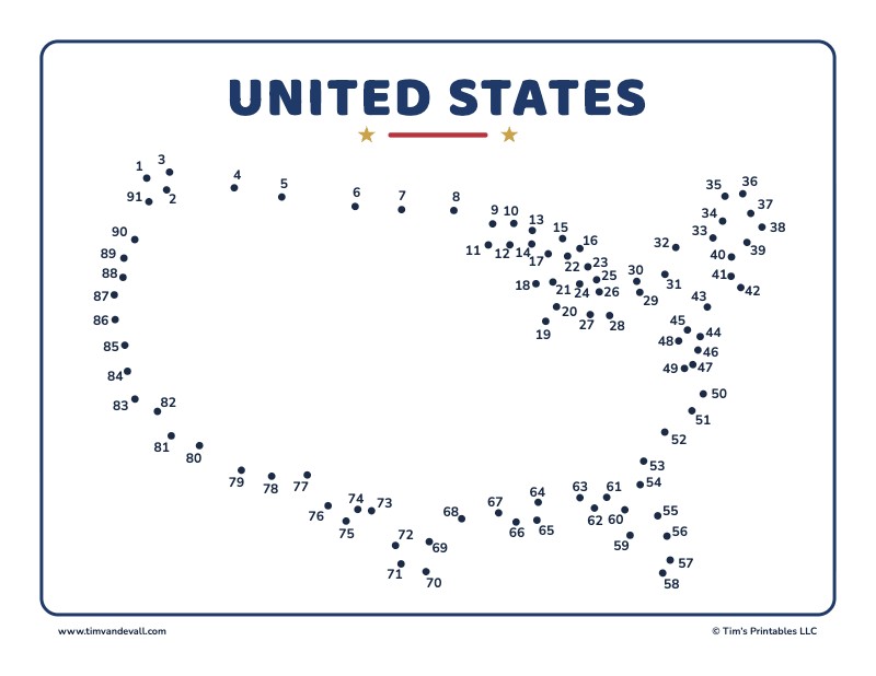
Connect the 91 dots in order to draw the outline of the United States. This sheet shows the 48 states that touch each other, often called the lower 48 or the contiguous United States. The capital is Washington, D.C., the country declared its independence on July 4, 1776 and the highest point in the lower 48 is Mount Whitney in California at 14,505 feet.
The shape of the United States
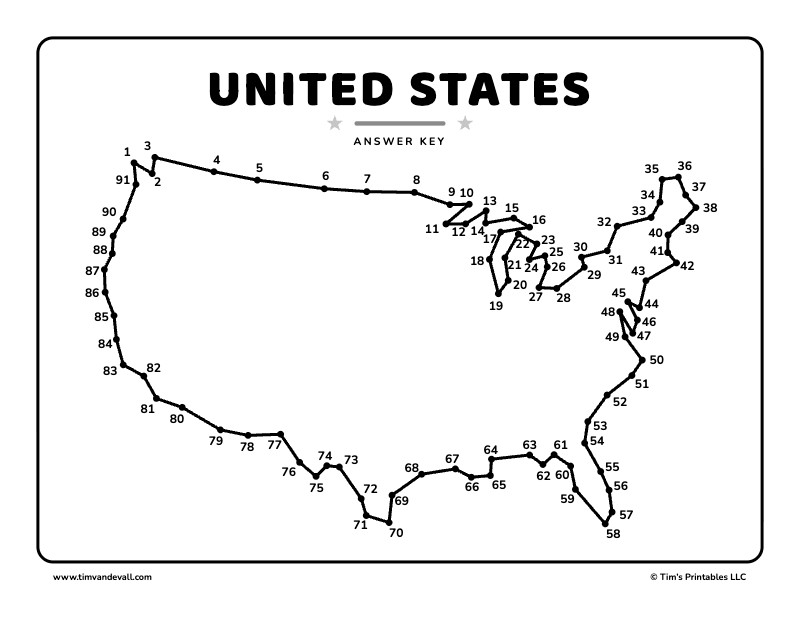
The long, nearly straight line across the top is the border with Canada along the 49th parallel, which runs from Washington state to Minnesota. Along the way, look for the mitten shape of Michigan between the Great Lakes, the long finger of Florida pointing south and the point of Texas at the bottom.
- The United States has 50 states. Alaska and Hawaii are not on this sheet because they do not touch the other 48.
- Alaska is the largest state, and Hawaii is the only state made up entirely of islands.
- Washington, D.C. is not part of any state.
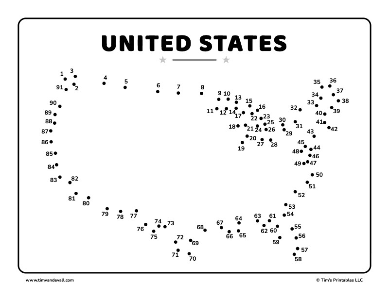
There are three free sheets below: a color version, a black and white version and an answer key. Click a sheet to open its PDF. Each PDF prints on landscape letter paper, with the answer key on page 2.
United States dot-to-dot in color
United States dot-to-dot in black and white
Answer key
More dot-to-dots
Each state has its own dot-to-dot too. Pick one from all 50 US state dot-to-dots.